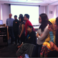
Each semester, the GIS for International Crises, Development, and the Environment course is one of the Milano School’s most popular. Students wrap up the course by producing final projects that encompass a wide range of topics, geographies, and methodologies. Using tools and techniques gained throughout the semester, each student chooses a research topic of interest and performs various spatial analyses that may include suitability, density, vulnerability, correlation, migration patterns, and proximity, among others.
Professor Stephen Metts publishes a Tumblr site highlighting the semester’s final projects. Check out the projects for the Spring 2014 semester. The Fall 2013 semester’s projects can be found here.


